

Photos and Article Written by Ronald Vader
Check out Ron's Kayaking Website | Insta: @kayakswmichigan
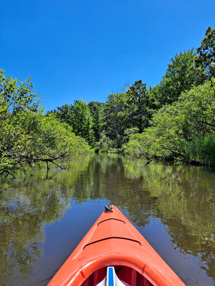
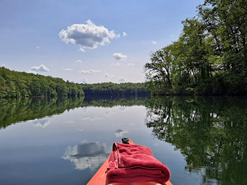
Kayaking is made easy in Kalamazoo County, MI. With dozens of family-friendly waterways, kayaking is a great, fun, and memorable summer activity. Don't worry if you aren't an experienced kayaker. Basic paddling skills are all that's needed for kayaking fun. In Kalamazoo, kayakers will find scenic views, vehicle-accessible boat landing sites, and plenty of wildlife. So, don't forget your camera!
Kalamazoo River
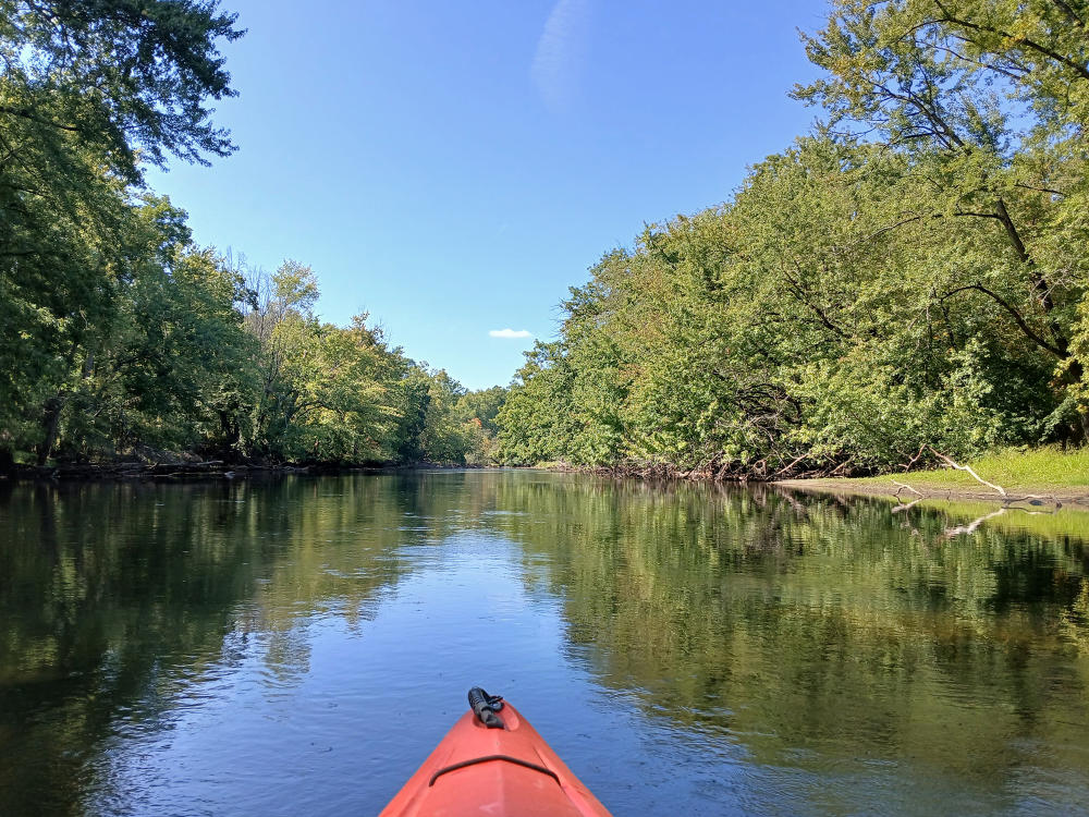
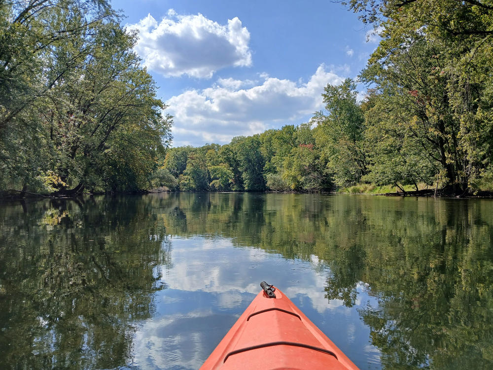
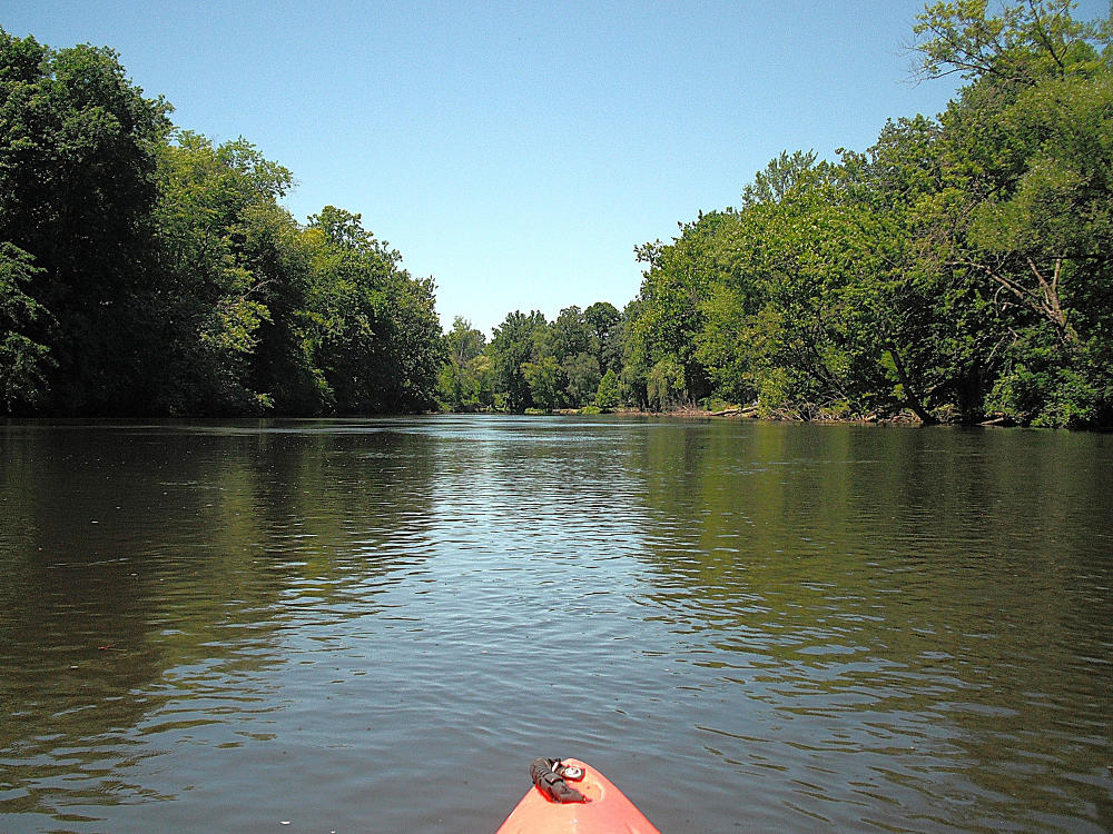
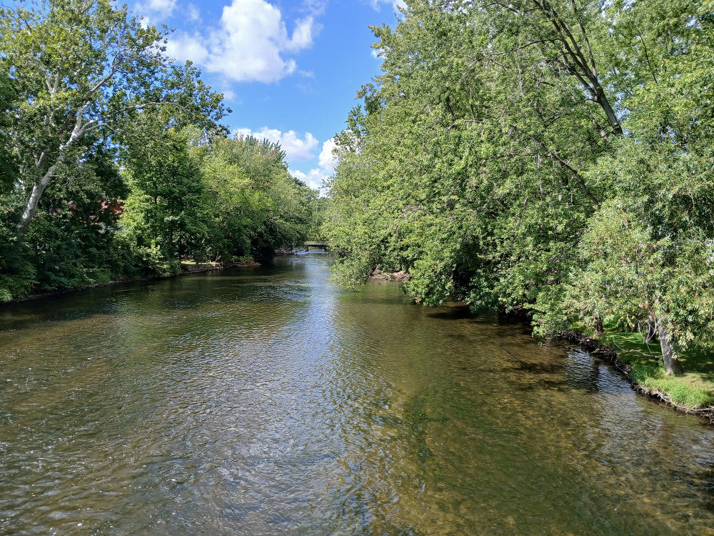
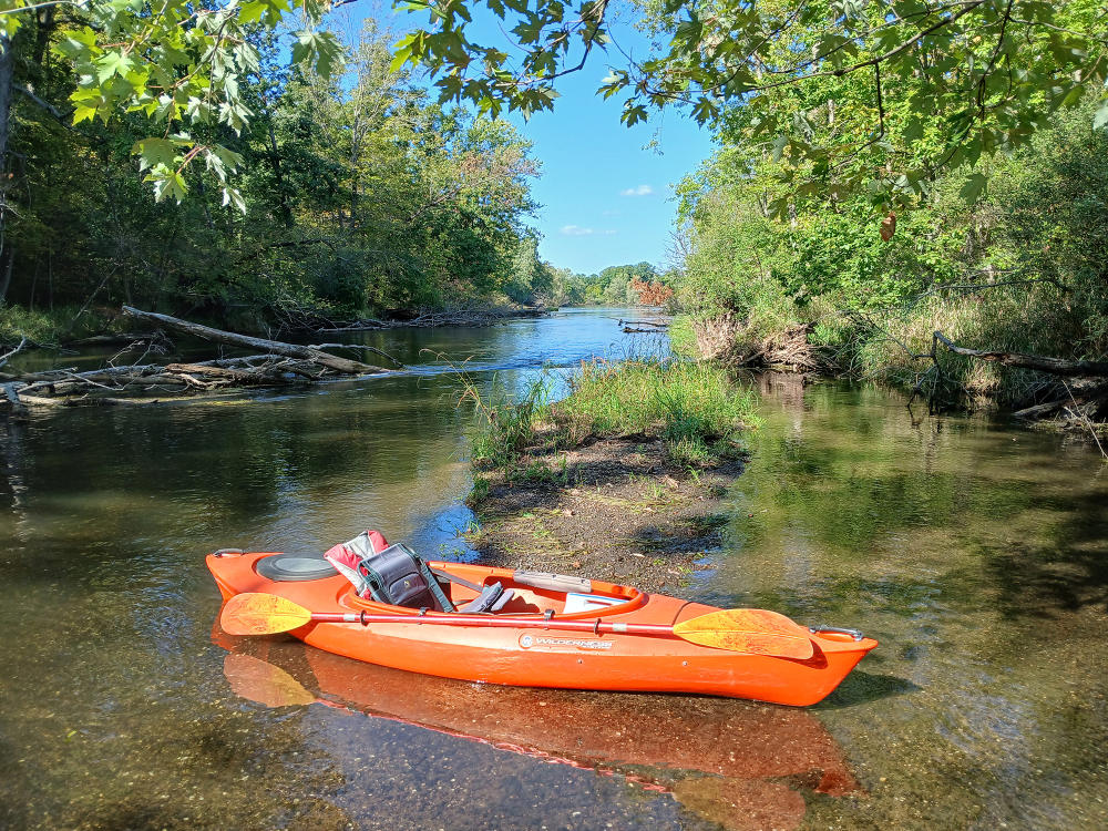
The Kalamazoo River is a premier destination for paddlers. Traveling through Kalamazoo County on its way to Lake Michigan, kayakers can choose from a wide variety of river trips. The Kalamazoo River flows through Augusta, Galesburg, Comstock, Kalamazoo, Parchment, and Cooper Township before entering Allegan County. A kayaking trip on the Kalamazoo River can be as long or as short as you want. For this article, a trip down the Kalamazoo River has been broken down into seven individual trips using eight river access sites. The following list of the eight access sites begins with Battle Creek in Calhoun County, continues downstream through Kalamazoo County, and ends in Plainwell in Allegan County.
Access Sites
BATTLE CREEK (Oak Park-Level Park): Access sites for beginning your journey on the Kalamazoo River are on the east side of the Custer Drive bridge. The site on the north side of the river is a rough trail and requires the use of a truck or SUV to transport kayaks. The site on the south side of the river is accessible by passenger car. After heading downstream from the landing, kayakers will experience easy paddling through a wooded river corridor that extends all the way to Augusta.
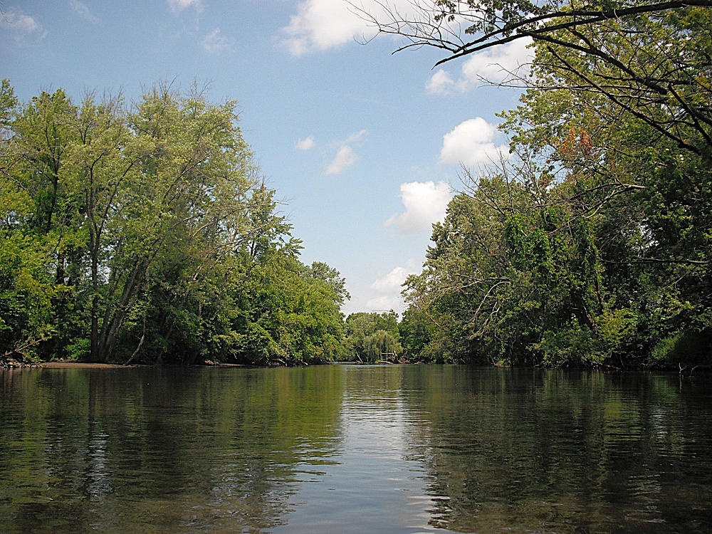
AUGUSTA (Fort Custer State Recreation Area): For the Augusta access site, you will have to enter Fort Custer State Recreation Area. If you are arriving by vehicle, kayakers can find the entrance to the recreation area on the south side of Highway M96, east of Augusta. From there, follow the park signs to the boat landing. If you are entering the park by kayak, the boat ramp at the landing is easy to spot on the left riverbank. Kayakers will be able to enjoy scenic views of woodlands as they travel from Augusta to Galesburg along the Kalamazoo River.
GALESBURG (Galesburg Community Park): Galesburg Community Park is located behind Galesburg City Hall on Michigan Avenue. The access site is easy to locate and simple to navigate. This journey follows the Kalamazoo River as it travels west from Galesburg and flows into Morrow Lake. The east end of the lake has many islands and channels for you to explore before heading to the Morrow Lake boat landing. This is a very scenic location and is a great place to catch a glimpse of river wildlife.
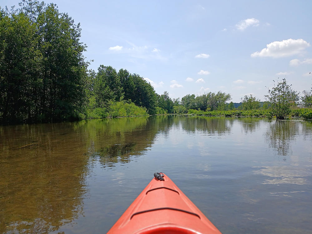
MORROW LAKE (River Oaks County Park): For a landing with modern restrooms, River Oaks County Park is the perfect place to stop. The entrance to the park is on the south side of Highway M96, just west of Galesburg. After entering the park, follow the park signs to the landing. If you are looking for an additional access point, another site is the MDNR boat landing. To get there, take Rosemont Road south from Highway M96, about halfway between Comstock and Galesburg. The landing is at the end of the road. This water trail takes kayakers to the west end of Morrow Lake, where a portage at Morrow Dam is needed. At the dam, a seawall extends North from a power plant that looks like a greenhouse. The portage starts at a steel platform hanging from the seawall, suspended above the water. You'll need to slide out of your kayak onto the platform and hoist your boat over the seawall. There's a short trail that leads from the seawall to the riverbank. Once back in the water, paddle the river downstream to Merrill Park.
COMSTOCK (Merrill Park): Merrill Park holds the next access point and is located on the corner of Comstock Avenue and River Street. The boat landing for the developed park is conveniently located right next to the parking area. On this trip, the river flows through downtown Kalamazoo, but the wooded riverbanks block out most of the cityscape, so you can enjoy the view of the woodlands while being close to the city. You will be able to hear some city noise, but the views make up for it.
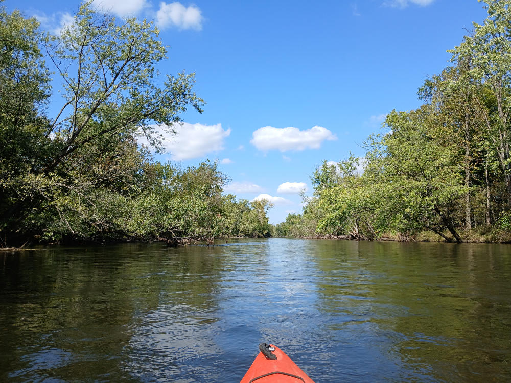
PARCHMENT (River Front Park): River access is on the north end of River Front Park, next to a deck overlooking the river. The park is on Commerce Lane. On this segment, the Kalamazoo River flows around several islands, including the 0.4-mile-long Glenn Allen Island, a nature preserve. This is another very scenic spot, perfect for viewing wildlife and taking in the natural landscape. On this stretch, you will pass by the Kalamazoo Nature Center, which has frontage on the river. The D Avenue bridge in Cooper Township marks the end of this trip.
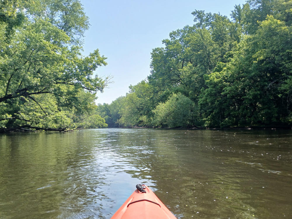
COOPER: The access is a landing on private property at the D Avenue bridge. The kindness and generosity of the property owners allow boaters and anglers to enjoy a day on the river. They charge a nominal fee for boats and parking. The entrance to the landing is at a gap in the guardrail on the north side of the road and on the east side of the river. This stretch of the Kalamazoo River feels remote, like being “up north," escaping the cityscape. Towards the end of the trip, as the river approaches Plainwell, a mill race diversion dam spans the river. The first of two options is a portage to the right of the dam, marked by a white sign. After the portage, the river proceeds to Plainwell. The other option is to paddle down the mill race. The mill race splits off from the river above the dam and to the left, and continues to Plainwell.
PLAINWELL: If you elected to portage the dam, choose between two access sites: Darrow Park on Hicks Street or, farther downstream, Fannie Pell Park on Main Street. The Pell Park option offers kayakers some moderate to fast current with an island to paddle around. If you choose to kayak the mill race through town, then your landing is on the east side of the mill race in Fannie Pell Park.
Fort Custer State Recreation Area
The entrance to Fort Custer State Recreation Area is on the south side of Highway M96, east of Augusta. The park offers camping, hiking, swimming, mountain biking, equestrian trails, and, best of all, kayaking! The Kalamazoo River flows through the recreation area, and the river access can be used as the end of a kayaking trip from Battle Creek or the beginning of a trip to Galesburg. In addition to the Kalamazoo River access point, the park has four lakes: Whitford, Lawler, Jackson Hole, and Eagle.
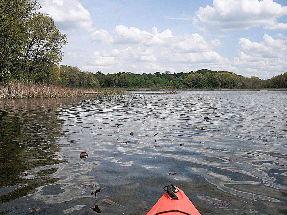
Park signs will direct kayakers to the boat landings. All of the lakes are impoundments of small spring-fed streams. During the hot summer months, some parts of the lakes can be difficult to paddle due to aquatic vegetation growth. These portions of the lakes can still be accessed by paddling areas of sparse vegetation, so always be on the lookout for water trails when paddling. Kayakers can also find an abundance of wildlife at Fort Custer. Beavers and muskrats inhabit all four lakes while birds of prey soar overhead. Deer can occasionally make an appearance, though you can expect to see more waterfowl present throughout the lakes. If you are looking forward to seeing the wildlife, stealthy paddling is the best strategy. Kayakers can view bass, bluegills, and carp in the clear waters of the shoreline shallows. Paddling the winding shorelines is the best way to explore the lakes and take in the natural beauty of the area.
Whitford and Lawler Lakes
These two lakes look like one single body of water, so it can be hard to tell where on ends and the other begins. The easiest way to identify which lake you are in is to know that the west half of the lake is Whitford and the east half is Lawler.
The boat landing is on the north side of Whitford. A fishing pier and a picnic shelter are on the west end of Whitford. On the southeast corner of Lawler, a narrow channel through the cattails leads to a beaver dam. If you’re feeling adventurous, portage the beaver dam and tour the beaver pond. Then, retrace your route back to Lawler Lake.
Jackson Hole Lake
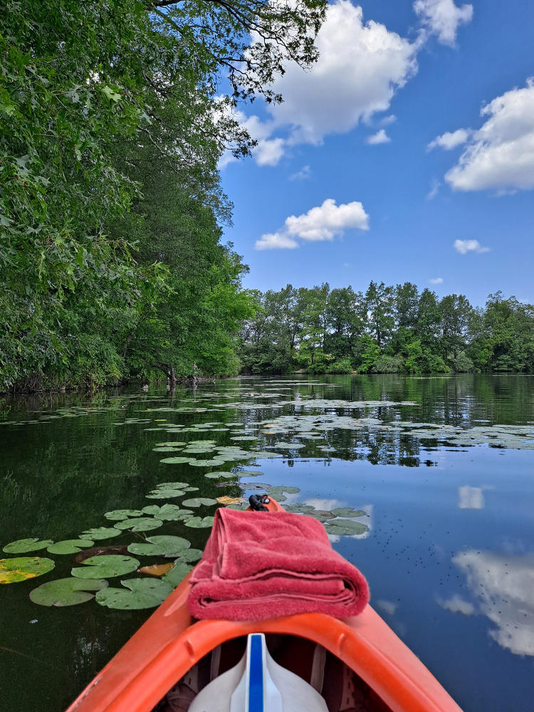
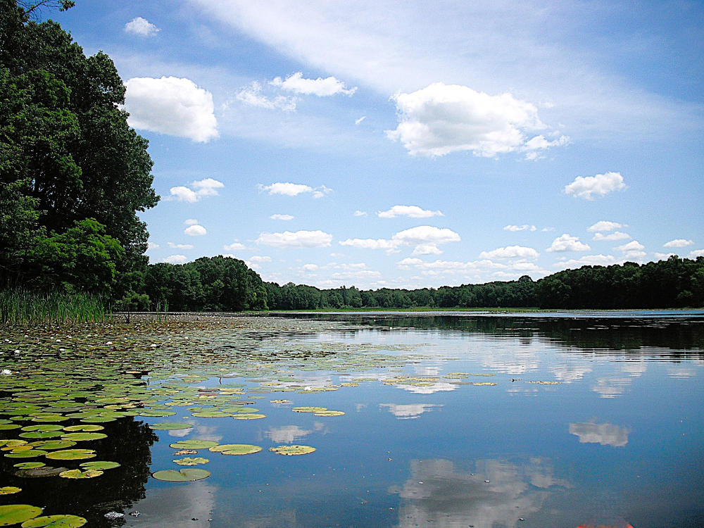
The Jackson Hole Lake boat landing shares a parking lot with the Whitford-Lawler Lakes boat landing. Jackson Hole is the shallowest of the four lakes within the recreation area. Aquatic vegetation, mostly lily pads, covers parts of the lake during summer. The best times to explore the lake are during spring, before the vegetation blooms, and during fall, after the seasonal vegetation dies off. It’s still fun to kayak during the summer if you don’t mind the lily pads. In fact, they add to the beauty of the lake!
Eagle Lake
Eagle Lake is the largest of the four lakes within Fort Custer. The lake features two basins connected by the narrows. You'll find the dam and the spillway tower are on the narrows. Additionally, the east and west basins are separated by a long peninsula, so this is a chance to choose your own adventure on which part of the lake you explore! Just note the east basin has a large island and is home to a sandy beach with a swimming area. During summer, the south end of the east basin looks completely covered by lily pads and other aquatic vegetation. On this part of the lake, shoreline shade prevents the vegetation from growing, leaving a water trail along the shore for kayakers to follow. The west basin, however, has very little aquatic vegetation, making it an easy paddle.
Time to Pack Up Your Kayaks and Head to Kalamazoo!
The Kalamazoo River and the lakes of Fort Custer are just a few of the many waterways in the Kalamazoo area. Whether you are looking for an extended kayaking trip, a brief boating session, or even stand-up paddleboarding, Kalamazoo County offers many water activities. If you would like info and photos of more Southwest Michigan kayaking destinations, visit my website for more information and updates on my kayaking adventures. Maybe I’ll see you on the water!
Photos and Article Written by Ronald Vader
Check out Ron's Kayaking Website | Insta: @kayakswmichigan
